The service SOS Alerts from Google Maps is a new feature, implemented within Google Public Alerts, which aims to alert users in case of natural disasters such as earthquakes, floods, hurricanes, etc. The usefulness of this service is to warn both drivers and authorities in good time. The usefulness of this service lies in the timely warning of both motorists and the authorities: the former will thus be able to keep away from areas at risk, while the latter will be able to manage more streamlined traffic flows, avoiding the formation of traffic jams along escape routes.
Preventive information on major natural disasters
Should the user set up navigation to an area that, according to weather forecasts, could soon be affected by a natural disaster or has just been affected by one, the new service will provide real-time information on the risks. Emergency numbers to be contacted in case of need will be provided, as well as suggestions from the local authorities with alternative routes out of the area.
The alert will be given to the user with audio and visual information by marking the area affected by the disaster on the map. For example, in the event of a floodalert, Google Maps, drawing on various sources (official weather services, local Civil Protection bodies, etc.), will provide a map of the area where the disaster could occur, with indications of the areas most or least at risk. If, on the other hand, the flood is already underway, a summary of what is happening will be provided, showing relevant news from authoritative sites. In the new SOS Alerts functionality, it will also be possible, via the “Share” button on the crisis tab, to reassure or alert a list of pre-selected contacts by letting them know your location.
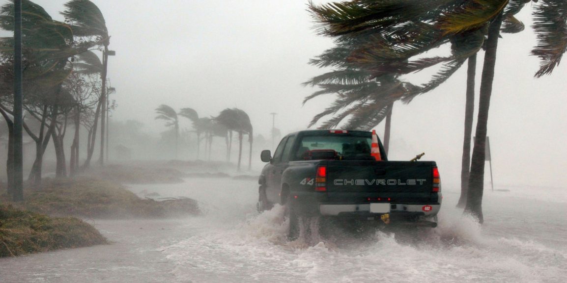
The service is almost complete but does not cover every type of natural disaster. In addition to flooding, hurricanealerts are also planned: in this case, the estimated hurricane trajectory will be visible from days before the event occurs, with the date and time at which the affected areas are likely to be affected.
Earthquakes, which are unfortunately not predictable, are a different matter. In this case, alerts will be displayed only after the seismic event has occurred: the map will show the epicentre, magnitude and colour code to indicate the intensity of the phenomenon in the surrounding areas.
The new feature, therefore designed for user safety, will be available over the summer, both in the Android and iOS apps and on the Google Maps website.
Alessandro Vanzan
Classe 4^ E – ITIS “F. Viola” Rovigo

